turistička zajednica grada makarska tz makarska
visit Makarska
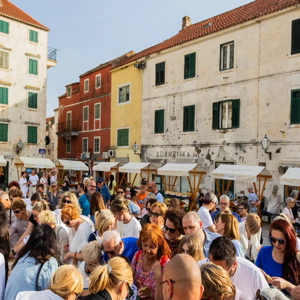
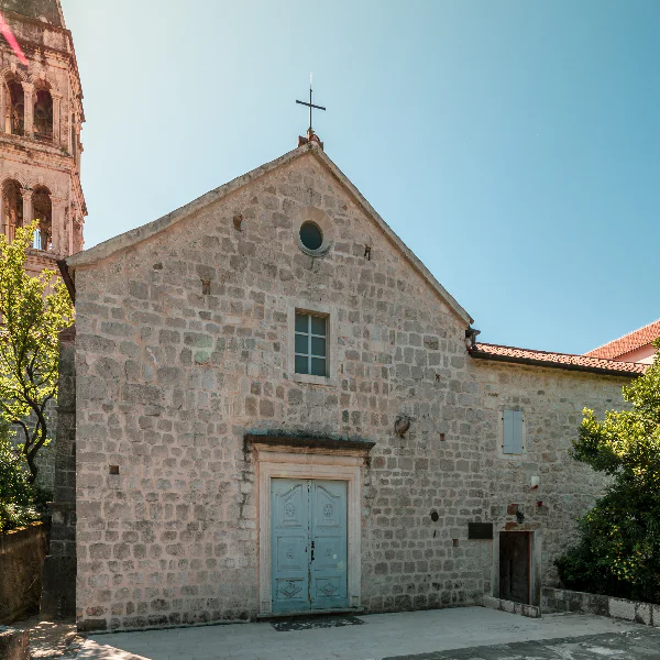
MAKARSKA, A CHARMING MEDITERRANEAN TOWN, SEAMLESSLY BLENDS TRADITION WITH THE LOCAL WAY OF LIFE, CRAFTING A UNIQUE STORY

The biggest little town
NARROW COBBLESTONE STREETS, THE SCENT OF THE SEA, AND THE FLAVOURS OF LOCAL SPECIALITIES REVEAL THE AUTHENTIC SPIRIT OF THIS TOWN
Get to Know Makarska
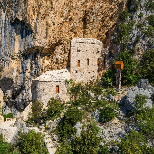
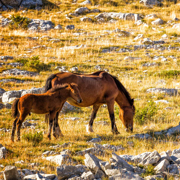
NESTLED AT THE FOOT OF THE MAJESTIC BIOKOVO MOUNTAIN, BETWEEN THE AZURE ADRIATIC SEA AND LUSH NATURAL GREENERY, MAKARSKA EXUDES A RICH CULTURAL HERITAGE. SPEND YOUR DAYS ON STUNNING BEACHES, YOUR EVENINGS SAVOURING LOCAL DELICACIES, AND YOUR NIGHTS BENEATH A STAR-STUDDED SKY
Get to Know Makarska
NESTLED AT THE FOOT OF THE MAJESTIC BIOKOVO MOUNTAIN, BETWEEN THE AZURE ADRIATIC SEA AND LUSH NATURAL GREENERY, MAKARSKA EXUDES A RICH CULTURAL HERITAGE. SPEND YOUR DAYS ON STUNNING BEACHES, YOUR EVENINGS SAVOURING LOCAL DELICACIES, AND YOUR NIGHTS BENEATH A STAR-STUDDED SKY
turistička zajednica grada makarske tz makarska
EXPLORE MAKARSKA